

HARMONIA provides tools
to predict Climate Change effects
in Piraeus
HARMONIA
Harmonia provides the tools to predict Climate Change effects in Piraeus, helping to build a cooler, cleaner, and safer city for everyone.
HARMONIA uses satellite technology to detect what isn't visible to the naked eye: heat accumulation and air pollution in our neighborhoods. By predicting these risks, the Municipality is being helped to design effective solutions—like more green spaces and smart materials—that directly improves residents’ quality of life and health.
HARMONIA GOALS
HARMONIA aims to shield Piraeus against Climate Change effects. By introducing advanced prediction tools into urban planning, the focus is on mitigating specific risks like Urban Heat Islands, Air Pollution, and Floods to create a safer and healthier city.
SMART PLANNING
Unlike traditional planning, based on estimates, HARMONIA uses data-driven simulations. We "test" solutions (like green roofs or cool pavements) digitally before implementation. This ensures that every intervention effectively lowers temperatures and improves the microclimate.
CITIZENS AS OBSERVERS
We believe residents know their neighborhoods best. Through the "Citizens as Observatories" initiative, their feedback on heat and air quality helps validate satellite data, ensuring that our technological solutions address their real-world needs.
TECHNOLOGY
Alongside local data, HARMONIA brings space technology to Piraeus using innovative tools to support decision-making: Earth Observation: Using Copernicus satellites to map invisible risks like heat accumulation. IRAP Platform: An integrated system that assesses urban resilience in real-time. Digital Twin: 3D simulations that predict how specific projects will improve your neighborhood.
MEET THE CITY
01
MEET THE CITY
Piraeus, Greece
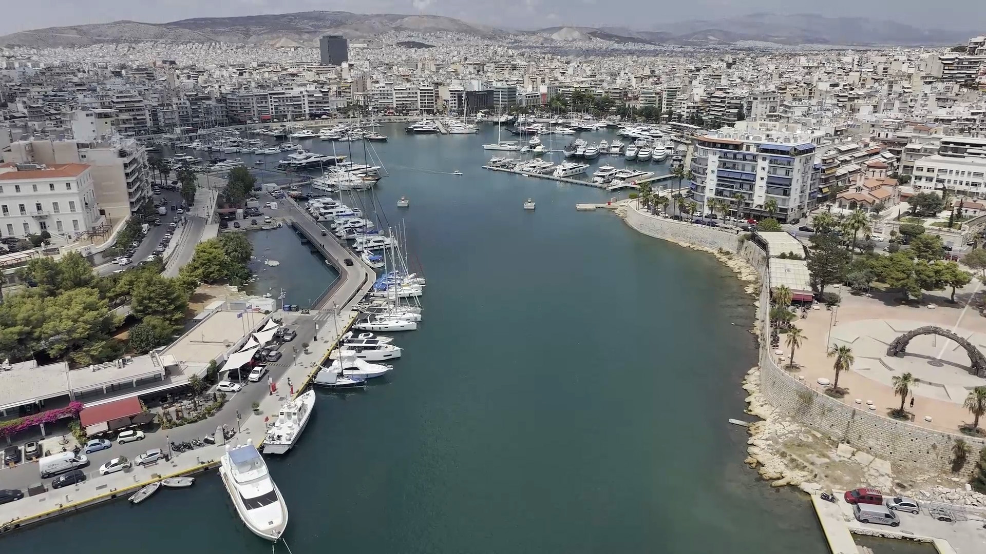
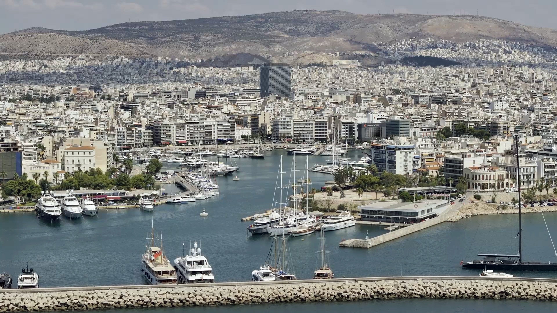
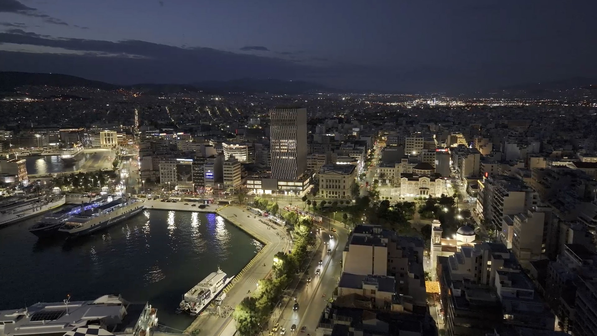
Piraeus is not just the biggest port in Greece; it is a vibrant, densely populated coastal city. Its unique geography, combined with heavy urban density and port activities, makes it vulnerable to specific climate challenges like intense heatwaves and air pollution.
That is why Piraeus was chosen as a Lead Pilot City for the HARMONIA project. We are transforming these challenges into an opportunity, using cutting-edge technology to become a European model for smart, climate-resilient urban living.
1 1
HARMONIA
Local Climate Action
Through advanced satellite tracking, HARMONIA Piraeus identifies "red zones" of heat and pollution. This allows us to take immediate, data-driven action to protect public health and improve the quality of life in every neighborhood, from Piraiki to Kaminia.
2 2
HARMONIA
Smart Urban Solutions
We don't just plan; we simulate. By digitally testing interventions—like green pocket parks and cool pavements—before they are built, we ensure that every project delivers maximum cooling and cleaner air for the city’s most vulnerable areas.
3 3
HARMONIA
Resilience & Innovation
Combining scientific data with citizen feedback ("Citizens as Observatories"), Piraeus adopts a dynamic "Climate Passport." This innovative approach strengthens the city’s defense against climate change, ensuring a safer and sustainable future for the next generations.
Our vision
We envision a city where technology serves the people. Through the HARMONIA project, we empower Piraeus to combat heatwaves and pollution, creating a healthier environment for families and vulnerable groups."
"Our goal is to turn scientific data into tangible benefits—cleaner air, more green spaces, and a higher quality of life for every resident of Piraeus."
Piraeus leading the way
Demo area location
03
Project Outcomes
HARMONIA Piraeus delivers a suite of advanced digital tools designed to enhance urban resilience. By integrating satellite data with local sensors, the project provides precise risk assessments for heatwaves, air quality, and floods across all 5 Municipal Communities. These outcomes empower local authorities to implement data-driven, nature-based solutions that directly improve public health and urban sustainability.
HARMONIA identifies the city's hottest "red zones" and simulates the cooling effect of interventions like green roofs and cool pavements. Our data shows that targeted greening can significantly reduce surface temperatures in dense neighborhoods like Maniatika and the City Center.
By combining satellite data with ground sensors, we map pollution hotspots (PM2.5, NO2) linked to port activities and traffic. The system predicts air quality risks, helping the Municipality implement traffic regulations and green buffers to protect vulnerable groups in areas like Kaminia.
The project models how water moves during extreme rainfall, pinpointing areas at high risk of flash flooding, especially in Neo Faliro. This allows for the precise planning of drainage improvements and permeable surfaces to prevent flood damage.
 English